-40%
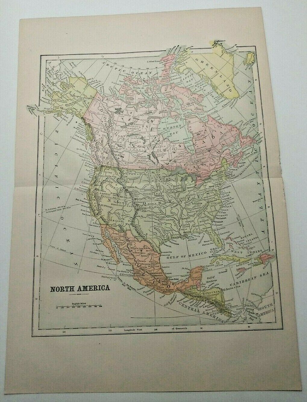
Vintage 1894 NORTH AMERICA Atlas Map Authentic Antique Encyclopedia Britannica
$ 7.39
- Description
- Size Guide
Description
Vintage 1894 NORTH AMERICA Atlas Map Authentic Antique Encyclopedia BritannicaThis wonderfully detailed map came from an 1894 Encyclopedia Britannica. Prepared and Published by The Werner Company, 1894. It is an old, original map that was rescued from an unusable antique atlas.
You will receive the exact antique map in the photos. Condition is very good, age considered, with a raw edge where the map was removed from the book. Please see photos for condition. Maps can have light foxing or yellowing at the edges, as is to be expected with 120+ year old map. The reverse of the page is another map.
Title page picture is for reference only and are NOT included in your purchase.
The page measures 10.5" x 15".
This map would look great displayed in any room. Add a touch of history to your home or office.
Map will be shipped flat via First Class Mail.
AD1/EB008


