-40%
BROOKLYN New York Antique USGS Topo Map 1905 Topographic, RARE MAP
$ 6.83
- Description
- Size Guide
Description
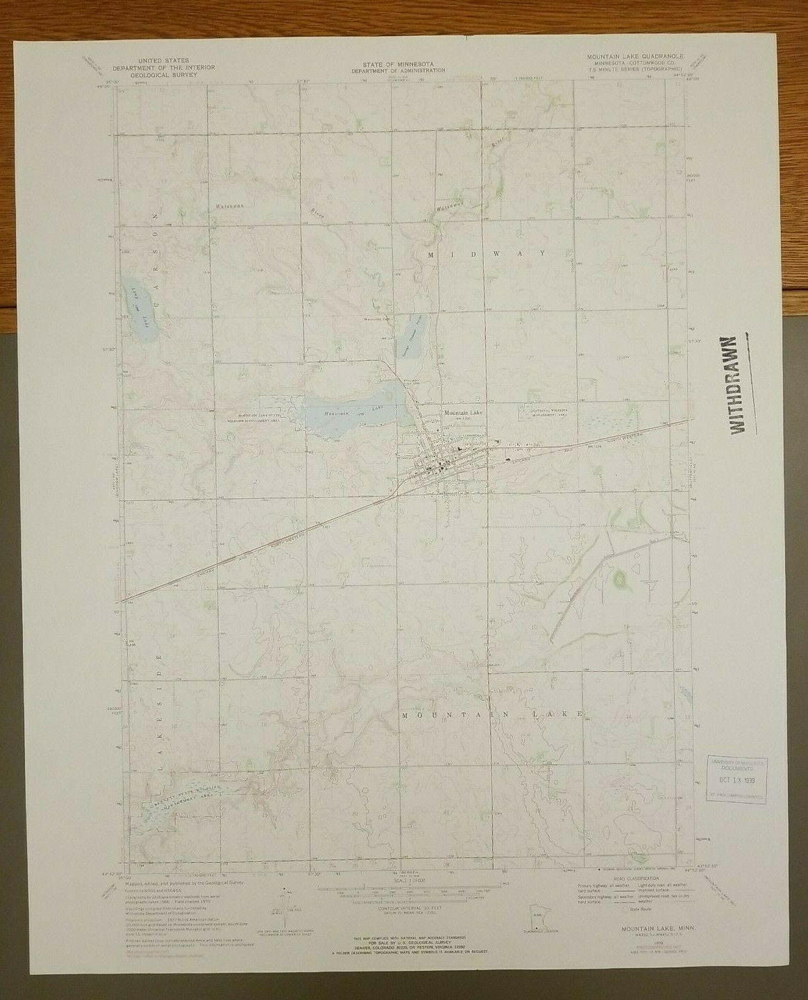
BROOKLYN New York Antique USGS Topo Map 1905 Topographic, RARE MAP16 1/2” x 20”
BROOKLYN, ROCKAWAY BEACH, BRIGHTON BEACH, MANHATTAN BEACH, JAMAICA BAY, FLATBUSH, CANARSIE, SHEEPSHEAD BAY, WOODHAVEN, PROSPECT PARK AND MORE ALL REPRESENTED HERE!
Note that the back of the map has information entitled “Description of the Topographic Map of the United States,” hitch includes a symbol key.
Great map to frame!
Will ship flat.
CONDITION:
Some minor toning, especially along the edges. Some minor rough edges. VERY SUITABLE FOR FRAMING!


