-40%
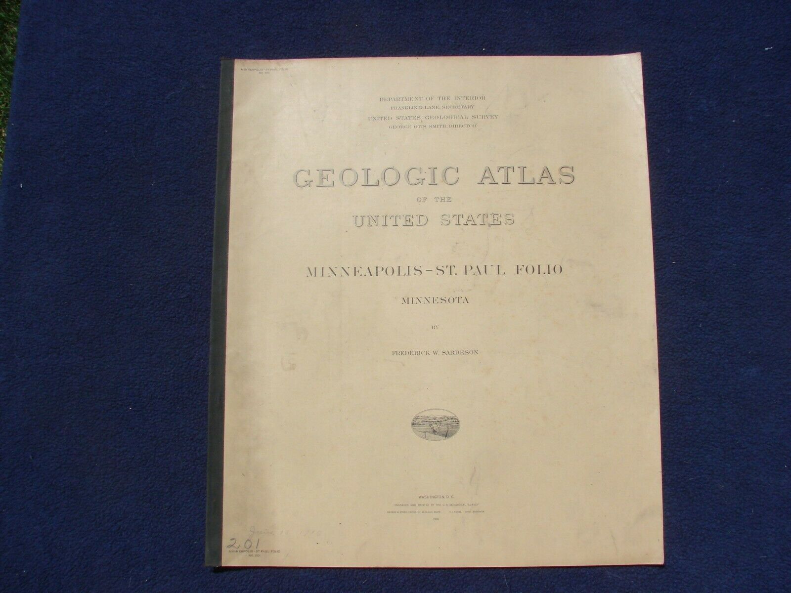
1916 USGS Geologic Atlas Minneapolis St Paul Minnesota Folio Quadruple Map Set
$ 44.88
- Description
- Size Guide
Description
Geologic Atlas of the United States, Minneapolis-St. Paul Folio (Minneapolis, St. Paul, Anoka and White Bear Quadrangles), Minnesota, U. S. Geological Survey Folio 201by
Frederick W. Sardeson,
United States Geological Survey, Washington: Government Printing Office, 19
16
First edition, 14 pp. plus 8 geologic and topographic maps (2 map sets per quadrangle) and 2 sheets of photographic illustrations.
In original printed wraps with black cloth spine, library edition. Size: 18.5 x 21.75 inches. Map scale: 1 to 62,500. A "quadruple" folio (4 quadrangle map coverage) and one of only about a dozen folios published for a state capitol. A very scarce folio.
Old folio topographic and geologic maps form an important historical record of the physical and cultural features of the country as they existed and were named (and, in the case of geology, interpreted) over 100 years ago. These maps with accompanying explanatory text are among the earliest of the area surveyed by the USGS and often show a simpler, less well developed and sometimes surprising landscape than is familiar today. These old folios are long out of print and can make wonderful research or conversation pieces. Given the relative rarity of separately published early USGS topographic and geologic maps in the marketplace, the folio series generally offers the best source of maps available to the public for those fortunate enough to have a connection with the surveyed areas.
Condition: Complete. Wraps soiled with the folio number “201” and date written in pencil at lower left and crushing to the top right corners of the first several sheets.
Interior generally bright and clean.
In 1894, the USGS implemented a plan to prepare a geologic map of the US in the form of over 3,000 quadrangle atlas sheets issued individually in folio size. The essential parts of each folio were a description of the region surveyed, a topographic map, and an aerial geologic map. Additional geologic map sheets and illustrations would be included as determined by the important economic and/or scenic characteristics found in the area. Of the over 3,000 folios planned, only 227 were ever issued before the series was discontinued in 1945. Early USGS maps are very scarce and these folios offer the best source of presentation-quality topographic maps. The majority of folios, such as the one offered for sale here, were issued in a library edition containing unfolded, single-sided maps printed on heavy paper with a highly calendared (glossy) surface. This surface was specifically chosen to give the best effects to the patterns and colors. These characteristics make the library edition the preferred choice for collectors.


